
Cincinnati faces hard freeze warning ahead of weekend chill
Temperatures in the mid-40s and possible freezing conditions will impact the area through Sunday before a warming trend begins Monday.
By Abigail Brooks ·
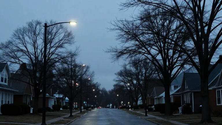
A hard freeze is possible in some Cincinnati communities by Saturday morning as overnight temperatures drop toward the freezing mark.
Shower activity will exit the region this evening, but the cold air mass will remain in place. Forecasters expect it to feel more like winter than fall for those heading out on Friday night.
The weekend will stay chilly. Saturday skies will feature more clouds than sunshine, with afternoon highs struggling to reach the mid 40s. Another chance for temperatures to fall near freezing is expected Saturday night under a few clouds.
Sunday begins cold with the potential for locally dense fog in the morning. After the fog lifts, partly to mostly cloudy skies will persist as temperatures climb into the upper 40s. While a few sprinkles are possible, most of the day should stay dry. This weather pattern will affect the afternoon of the Bengals game.
A gradual warming trend starts Monday. Highs will reach near 50 degrees, followed by more sunshine and seasonable conditions on Tuesday. By Wednesday and Thursday, temperatures will return to the upper 50s and low 60s with a mix of sunshine and thin high clouds.
The warming continues into next weekend, with temperatures potentially reaching the mid 60s by Friday and Saturday. This marks a sharp turnaround from this Friday's flurries. Most of next week is expected to remain dry, though shower chances begin to increase later next weekend and into the days leading up to Thanksgiving.