Cincinnati Temperatures Drop to Low 40s as Cold Front Arrives
A First Alert Weather Day is declared for Sunday evening, with rain expected to last until the Monday morning commute.
By Abigail Brooks ·
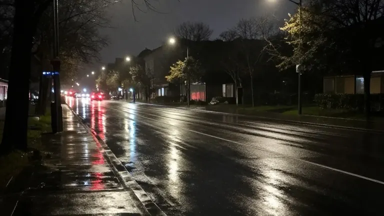
Sunday highs in the Tri State will reach near 70 degrees before a sharp drop in temperature begins after sunset. WXIX-TV has issued a First Alert Weather Day for Sunday evening as winds pick up and rain showers become likely with the arrival of a cold front.
Mostly sunny skies are expected in the morning, with clouds thickening by late Sunday afternoon. Rain will move across the region from approximately 7 p.m. Sunday to 5 a.m. Monday. While the system does not bring heavy precipitation, an isolated thunderstorm remains possible during the overnight window.
By the time drivers begin their Monday morning commute, the area should be mostly dry. However, northwesterly winds will pull down cold air, causing temperatures to tumble from the low 50s around midnight to the low 40s by Monday afternoon.
High temperatures will remain in the low to mid 40s for the majority of Thanksgiving week. A weak system moving up from the south may impact holiday travel, earning a second First Alert Weather Day designation for Wednesday.
Spotty rain is possible later Wednesday into the early hours of Thanksgiving Day. Temperatures will gradually warm back into the 50s by the end of the following weekend.