Pueblo loses 30 degrees by Saturday
A cold front crosses Colorado on Friday, cutting weekend highs from 80 to the 50s and bringing rain to the region.
By Chioma Brooks ·
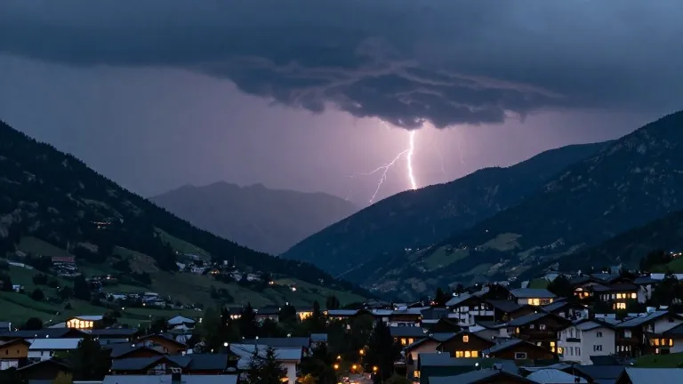
Pueblo residents have one final day of warmth before a sharp drop in temperature. A cold front crosses the region on Friday, October 23, ending a stretch of above-average highs. The city is forecast to reach 80 degrees on Friday, but Saturday highs will fall to the 50s. That marks a 30 degree decline in 24 hours.
Morning temperatures in Pueblo started in the 50s with breaking clouds. Sunlight emerged around 10 a.m. along Interstate 25 as the sky cleared. The front advances from the west, bringing more cloud cover. It also supports storm development farther south and east. Rain chances on the south side of Pueblo are low, between 10% and 20%, on Friday. Those odds rise substantially over the weekend.
Neighboring communities face similar shifts. Canon City expects a high of 75 and a low of 49, with a 20% to 30% chance of afternoon showers. Woodland Park will see a high of 58 and a low of 39. The Tri-Lakes area around Monument forecasts a high of 69 and a low of 43. All three locations see Saturday highs in the 50s.
Farther south, Walsenburg and Trinidad reach 73 and 74 degrees, respectively, with lows of 49. Friday is their warmest day in the coming week. After that, weekend highs drop into the 50s. Colorado Springs forecasts a high of 73 and a low of 47. The eastern plains may see thunderstorms return by Friday evening after a sunnier morning. Afternoon temperatures there reach the 70s and 80s, with lows in the 50s.
Mountain areas see forecast highs in the 60s and lows in the 30s. Lingering moisture and flooding remain concerns in southwestern Colorado. Water levels may take time to recede in those areas. The front’s passage sets up a drier, calmer pattern for the following week. Sunshine returns with partly cloudy skies. Temperatures gradually warm into the 60s.
The preliminary Halloween outlook lists temperatures in the 50s and 60s with dry weather. That forecast could change as the week progresses. For now, the immediate focus is the sharp contrast between Friday’s peak and Saturday’s chill. The weather service tracks the front’s movement through Friday into Saturday morning. That timing drives the rapid cooling across the state.
Source: KOAA News5