St. Johns River Breaches Record While Central Florida Floods
The river near Cocoa surpassed its 1953 high mark as flash flood warnings covered three counties, with rain expected to continue through the weekend.
By Priya Marino ·
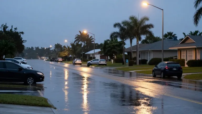
The St. Johns River near Cocoa reached a new record high of 18.11 inches at midnight, breaking a benchmark set in 1953.
The water level exceeded the previous record of 17.6 inches, a threshold that signals major flooding for communities along the river. The National Water Prediction Service forecasts that levels will continue to rise to 18.4 inches. Homes in the Lake Poinsett area west of Cocoa, the Silver Pines subdivision in Rockledge, and the Shakespeare Park area in Cocoa are currently surrounded by floodwaters.
The current crisis follows a recent surge in Brevard County that claimed two lives. Those same areas received more than 20 inches of rain earlier this month. Roads that had just reopened after repairs in the Melbourne and Palm Bay areas washed out again during this latest storm. The St. Johns River had already reached high stages before the new rainfall began, exacerbating the impact on the region.
The National Weather Service in Melbourne issued several flash flood warnings for parts of Brevard, Orange, and Volusia counties. By 10 a.m., some locations had accumulated 6 to 10 inches of rain, with an additional 2 to 4 inches possible. Emergency management closed S.R. 520 near the S.R. 528 interchange. The Florida Department of Transportation cameras captured flooding on roads near Wedgefield in east Orange County. Melbourne Police reported vehicles stalling on inundated streets, while South Patrick Drive near Satellite Beach also flooded.
A flood advisory covered portions of Brevard and Volusia counties during the overnight hours. A flood watch remains in effect for most of east central Florida, including Volusia, Seminole, Orange, Osceola, Okeechobee, Brevard, Indian River, Saint Lucie, and Martin counties. The NWS alert warned of life-threatening flash flooding in creeks, streams, urban areas, and underpasses. It advised drivers to turn around when encountering flooded roads, noting that most flood deaths occur in vehicles.
Forecasts indicate a medium chance of 3 to 6 inches of additional rain on Thursday for the greater Central Florida region. Along the coast, there is a 10 percent chance of receiving 8 to 10 inches. The National Hurricane Center stated the rain is forecast to merge into a low pressure system forming off the east coast of Florida. This system has a 60 percent chance of developing into a tropical or subtropical storm. The NWS predicted the system could cause dangerous surf, coastal erosion, and further flooding into the weekend.
The National Weather Service described the potential flooding as impactful if the heaviest rain totals occur. The St. Johns River continues to rise above record levels, with water surrounding homes and cars in Rockledge. The rain has shifted to Florida's mid-Coast, affecting Rockledge, Cape Canaveral, and Port St. John. The National Hurricane Center stated the system could end up continuing to thrash Florida’s coast, leading to dangerous surf and coastal erosion and flooding.